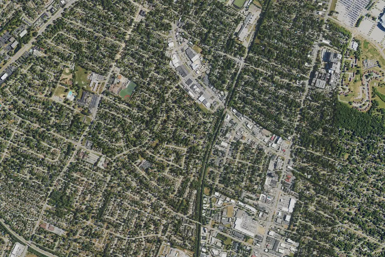
Lexington's Southland area is in ZIP code 40503 and zoned for Lafayette High. Its ZIP home value was $344,639 in September 2026, per Zillow.
Last checked Oct. 16, 2026. Sources: the Lexington-Fayette Urban County Government’s neighborhood association registry, Imagine Nicholasville Road plan and open data (H-1 overlays, small area plans, parks and address points), Fayette County Public Schools’ current attendance boundaries, the Kentucky Department of Education’s 2025-26 accountability data, Lextran’s schedule data, OpenStreetMap and Zillow Research.
Southland is the area of south Lexington around Southland Drive, between Clays Mill Road and Nicholasville Road (US 27). We used the boundary of The Southland Association, Inc. as the city’s registry maps it: about 1 square mile with about 1,800 residential addresses, all in ZIP code 40503.
What this means for you
- Zoned high school: Lafayette High for every address we checked, rated very high for 2025-26. Check yours in the SchoolSite Locator.
- Home value: $344,639 in ZIP code 40503 in September 2026, according to the Zillow Home Value Index.
- Nearest freeway exit: New Circle Road Exit 19, Nicholasville Road (US 27), about 1.7 miles by road.
Part of our Lexington neighborhoods guide.
Where it is
The association’s area has homes on Regency Road, Sheridan, Stratford, Southview, Hollyhill, Longview, Millbrook and Eastway drives, Hill N Dale Road, Rosemill Drive and Pasadena Drive, according to the city’s address points, with Nicholasville Road along its east side. OpenStreetMap names Hill ‘n Dale, Rosemill, Pasadena, Deerfield and Southern Heights as places inside it.
Most of the Pensacola Park local H-1 historic overlay, about 0.15 square mile, is inside the area. In an H-1 overlay, most exterior changes, new buildings and demolitions need a certificate of appropriateness first, under the urban county’s historic preservation zoning rules. The east edge falls in the city’s Imagine Nicholasville Road corridor plan, adopted in 2021, which covers intersection changes, plans for bus rapid transit and redevelopment of large parking lots and shopping centers along US 27.
Neighborhood associations
Besides The Southland Association, the city’s registry lists four smaller groups inside its area: the Deerfield Community Association, the Hill N Dale Neighborhood Association, Rosemill Neighbors Association and the Pensacola Park Neighborhood Association. The registry does not say which homes, if any, carry association dues.
Schools
Southland is in Fayette County Public Schools. We checked 451 residential addresses in the area against the district’s current attendance boundaries. All were zoned for Lafayette High. The lower grades are split:
- Elementary: Clays Mill about 55%, Picadome about 25%, Glendover about 20%.
- Middle: Jessie Clark about 75%, Morton about 25%.
| Level | School | 2025-26 state rating |
|---|---|---|
| Elementary | Clays Mill Elementary, 2319 Clays Mill Road | Very high (93.3) |
| Elementary | Picadome Elementary, 1642 Harrodsburg Road | High (75.3) |
| Elementary | Glendover Elementary, 710 Glendover Road | High (82.6) |
| Middle | Jessie Clark Middle, 3341 Clays Mill Road | High (71.2) |
| Middle | Morton Middle, 1225 Tates Creek Road | High (68.2) |
| High | Lafayette High, 401 Reed Lane | Very high (86.9) |
Ratings are the overall indicator from the Kentucky Department of Education’s 2025-26 accountability data, on a five-step scale from very low to very high; full reports are on the Kentucky School Report Card. Because the lower grades are split, check every address in the SchoolSite Locator. More in our schools guide.
Home values
The Zillow Home Value Index is a modeled typical value for the middle third of homes, not a sale price. Zillow does not publish a figure for the association’s area alone.
| Area | September 2026 | September 2025 | Change |
|---|---|---|---|
| ZIP code 40503 | $344,639 | $332,860 | +3.5% |
| Lexington, for comparison | $331,087 | $320,332 | +3.4% |
Trends are on our home prices page.
Parks and trails
From the city’s park data:
- Hill-N-Dale Park, 2351 Maplewood Drive, about 4 acres, inside the area.
- Southland Park, 625 Hill N Dale Road, about 17 acres, just west.
- The Arboretum, 500 Alumni Drive, about 99 acres, state-owned, just east across Nicholasville Road.
More in our parks and trails guide.
Getting around
- New Circle Road (KY 4): Exit 19, Nicholasville Road (US 27), about 1.7 miles by road, and Exit 18, Tates Creek Road (KY 1974), about 3.4 miles.
- I-75 and I-64: Exit 113, Paris Pike (US 27 and US 68), about 6.5 miles.
- Downtown (old courthouse on Main Street): about 3.5 miles by road.
- Blue Grass Airport: about 7.1 miles by road.
- Buses: Lextran Routes 5 (Nicholasville Road) and 16 (Southland Drive) stop in the area, according to Lextran’s schedule data for Oct. 5 to Dec. 19, 2026.
Distances were measured with the OSRM routing engine on OpenStreetMap roads from a point in the middle of the area to the end of each exit ramp. They are distances, not drive times. More in our getting around guide.
Groceries and everyday stores
OpenStreetMap lists these inside or next to the area:
- Supermarkets: Good Foods Co-op, 455 Southland Drive; Kroger, 150 W. Lowry Lane; Trader Joe’s, 2320 Nicholasville Road.
- Pharmacies: Pharmacy Shop, 450 Southland Drive; Walgreens, 2290 Nicholasville Road.
Frequently asked questions
What high school is Southland in Lexington zoned for?
Every home we checked in the Southland Association’s area is zoned for Lafayette High, rated very high on the 2025-26 Kentucky School Report Card. Elementary and middle school zones are split, so check the address.
What ZIP code is Southland Drive in Lexington?
The Southland Association’s area is all in ZIP code 40503. Zillow’s Home Value Index for 40503 was $344,639 in September 2026, up 3.5% from September 2025.
Is Pensacola Park a historic district?
Yes. Pensacola Park is a local H-1 historic overlay of about 0.15 square mile, most of it inside the Southland Association’s mapped area, according to the city’s overlay data.
What grocery stores are near Southland Drive?
Good Foods Co-op at 455 Southland Drive and Kroger at 150 W. Lowry Lane are inside the area, and Trader Joe’s is at 2320 Nicholasville Road, according to OpenStreetMap.
Have your say