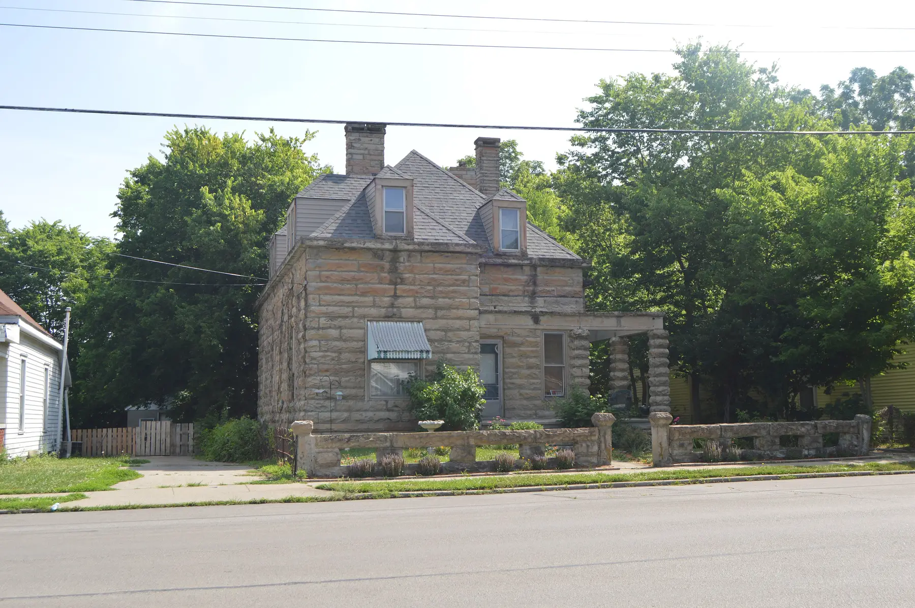
Lexington's East End covers about 387 acres beside downtown, mostly ZIP code 40508. Its ZIP home value was $225,432 in September 2026, per Zillow.
Last checked Oct. 16, 2026. Sources: the Lexington-Fayette Urban County Government’s East End Small Area Plan and open data (small area plans, neighborhood association registry, parks and address points), Fayette County Public Schools’ current attendance boundaries, the Kentucky Department of Education’s 2025-26 accountability data, Lextran’s schedule data, OpenStreetMap and Zillow Research.
The East End is the neighborhood just northeast of downtown that the urban county mapped in its East End Small Area Plan, adopted in 2009 as part of the 2007 comprehensive plan. The plan covers “approximately 387 acres of land adjacent to downtown,” about 0.6 square mile with about 1,700 residential addresses, according to the city’s plan and address data. Most of it is in ZIP code 40508.
What this means for you
- Zoned high school: Frederick Douglass High for about 80% of homes, Henry Clay High for the south blocks. Check an address in the SchoolSite Locator.
- Home value: $225,432 in ZIP code 40508 in September 2026, according to the Zillow Home Value Index.
- Nearest freeway exit: New Circle Road Exit 13, Winchester Road (US 60), about 2.3 miles by road.
Part of our Lexington neighborhoods guide.
Where it is
The plan area runs northeast from the downtown edge along the numbered streets from Second to Seventh, with homes on Ohio, Chestnut, Breckinridge, Race, Shelby, Jackson and Wilson streets, Elm Tree Lane and Shropshire Avenue, according to the city’s address points. Midland Avenue and Thoroughbred Park are at its downtown end. The plan’s goals include honoring the area’s cultural heritage, creating “diverse and accessible housing” and enabling multimodal transportation, according to the city’s summary of it.
OpenStreetMap names East End, Martin Luther King and the William Wells Brown neighborhood as places inside the plan area. Two groups for the area are on the city’s neighborhood association registry: the East End Community Development Corporation and the William Wells Brown Neighborhood Association.
Schools
The East End is in Fayette County Public Schools. We checked 434 residential addresses in the plan area against the district’s current attendance boundaries. All were zoned for Lexington Middle. About 80% were zoned for William Wells Brown Elementary, which sits inside the area, and Frederick Douglass High; the rest, on the south side, for Ashland Elementary and Henry Clay High.
| Level | School | 2025-26 state rating |
|---|---|---|
| Elementary | William Wells Brown Elementary, 555 E. Fifth St. | Low (38.8) |
| Elementary | Ashland Elementary, 195 N. Ashland Ave. | Very high (89.1) |
| Middle | Lexington Middle, 350 N. Limestone | Medium (54.8) |
| High | Frederick Douglass High, 2000 Winchester Road | Medium (68.7) |
| High | Henry Clay High, 2100 Fontaine Road | High (77.0) |
Ratings are the overall indicator from the Kentucky Department of Education’s 2025-26 accountability data, on a five-step scale from very low to very high; full reports are on the Kentucky School Report Card. Because the area is split, check any address in the SchoolSite Locator. More in our schools guide.
Home values
The Zillow Home Value Index is a modeled typical value for the middle third of homes, not a sale price. Zillow does not publish a figure for the East End alone.
| Area | September 2026 | September 2025 | Change |
|---|---|---|---|
| ZIP code 40508 | $225,432 | $220,603 | +2.2% |
| Lexington, for comparison | $331,087 | $320,332 | +3.4% |
Trends are on our home prices page.
Parks and trails
From the city’s park data:
- Charles Young Park, 215 Midland Ave., about 3.6 acres.
- Isaac Murphy Art Garden, 577 E. Third St.
- Northeastern Park, 140 Eastern Ave.
- Thoroughbred Park, 121 Midland Ave., at the downtown edge.
- Castlewood Park, 201 Castlewood Drive, about 32 acres, just northeast of the plan area.
More in our parks and trails guide.
Getting around
- New Circle Road (KY 4): Exit 13, Winchester Road (US 60), about 2.3 miles by road, and Exit 8, Georgetown Road (US 25), about 2.5 miles.
- I-75 and I-64: Exit 113, Paris Pike (US 27 and US 68), about 3.1 miles.
- Downtown (old courthouse on Main Street): about 1.1 miles by road.
- Blue Grass Airport: about 9.5 miles by road.
- Buses: Lextran Routes 6 (North Broadway), 9 (Eastland) and 10 (Hamburg Pavilion), the LexRide Warehouse Loop (42) and night routes 52 and 59 stop in the area, according to Lextran’s schedule data for Oct. 5 to Dec. 19, 2026.
Distances were measured with the OSRM routing engine on OpenStreetMap roads from a point in the middle of the area to the end of each exit ramp. They are distances, not drive times. More in our getting around guide.
Groceries and everyday stores
OpenStreetMap lists no supermarket inside the plan area. The nearest:
- Supermarkets: Kroger, 704 Euclid Ave.; Kroger, 1650 Bryan Station Road.
- Pharmacy: Walgreens, 878 E. High St.
The neighborhood’s history is in our history and landmarks guide.
Frequently asked questions
What high school is Lexington’s East End zoned for?
About 80% of East End homes are zoned for Frederick Douglass High, Lexington Middle and William Wells Brown Elementary in FCPS’s current boundaries; the south blocks are zoned for Henry Clay High and Ashland Elementary.
Where is the East End in Lexington?
It is the area of about 387 acres just northeast of downtown covered by the city’s East End Small Area Plan, adopted in 2009, around Third, Fifth and Seventh streets, Race Street, Chestnut Street and Midland Avenue.
What ZIP code is the East End of Lexington?
Mostly 40508, with a corner in 40505. Zillow’s Home Value Index for 40508 was $225,432 in September 2026, up 2.2% from September 2025.
What parks are in Lexington’s East End?
Charles Young Park at 215 Midland Ave., the Isaac Murphy Art Garden at 577 E. Third St. and Northeastern Park at 140 Eastern Ave., with Castlewood Park just outside the plan area.
Have your say