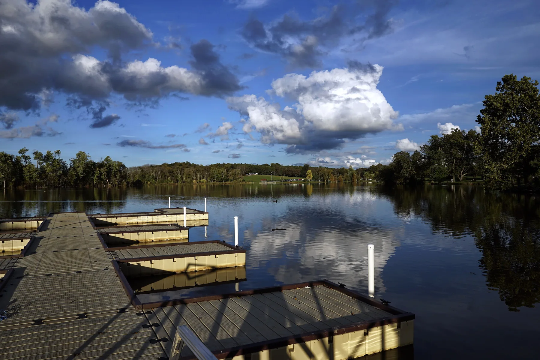
Andover, in southeast Lexington beside Jacobson Park, is in ZIP code 40509. Its ZIP home value was $402,163 in September 2026, per Zillow.
Last checked Oct. 16, 2026. Sources: OpenStreetMap (the Andover neighborhood outline and stores), the Lexington-Fayette Urban County Government’s neighborhood association registry and open data (parks and address points), Fayette County Public Schools’ current attendance boundaries, the Kentucky Department of Education’s 2025-26 accountability data, Lextran’s schedule data and Zillow Research.
Andover is a neighborhood in southeast Lexington, outside New Circle Road, between Jacobson Park and the Lakeside Golf Course. OpenStreetMap outlines it as a residential area of about 0.36 square mile, and the urban county’s registry maps the Andover Neighborhood Association over almost the same ground. The city’s address points put about 740 residential addresses inside, all in ZIP code 40509.
What this means for you
- Zoned high school: Frederick Douglass High for every address we checked. Check yours in the SchoolSite Locator.
- Home value: $402,163 in ZIP code 40509 in September 2026, according to the Zillow Home Value Index.
- Nearest freeway exit: New Circle Road Exit 15, Richmond Road (US 25 and US 421), about 3.5 miles by road; I-75 Exit 110, about 4.1 miles.
Part of our Lexington neighborhoods guide.
Where it is
Andover’s homes are on Winter Hill Lane, Gingermill Lane, Forest Hill Drive, Andover Village Drive, Mint Hill Lane, Broadmoor Drive, Brookgreen Lane, Hunters Green Way, Park Ridge Lane and Chestnut Hill Lane, among others, according to the city’s address points. OpenStreetMap names Andover Forest, Banbury Hunt, Still Meadow and Walnut Ridge as neighboring places.
HOAs
The city’s registry lists the Andover Neighborhood Association, which gives andover.org as its website and a community management company as its contact. It also lists smaller associations at the neighborhood’s edges, including Villas at Andover, the Golf Townhomes at Andover associations, Andover Club Villas, Walnut Ridge HOA and the Enclave at Lochmere. Whether a given home carries association dues, and how much, is in its deed and the association’s own documents.
Schools
Andover is in Fayette County Public Schools. We checked all 736 residential addresses in the outline against the district’s current attendance boundaries. Every one was zoned for the same three schools.
| Level | School | 2025-26 state rating |
|---|---|---|
| Elementary | Athens-Chilesburg Elementary, 930 Jouett Creek Drive | Very high (88.3) |
| Middle | Edythe Jones Hayes Middle, 260 Richardson Place | Very high (83.8) |
| High | Frederick Douglass High, 2000 Winchester Road | Medium (68.7) |
Ratings are the overall indicator from the Kentucky Department of Education’s 2025-26 accountability data, on a five-step scale from very low to very high; full reports are on the Kentucky School Report Card. Check any address in the SchoolSite Locator. More in our schools guide.
Home values
The Zillow Home Value Index is a modeled typical value for the middle third of homes, not a sale price. ZIP code 40509 also covers Hamburg and much of east Lexington, so it is a broad measure.
| Area | September 2026 | September 2025 | Change |
|---|---|---|---|
| ZIP code 40509 | $402,163 | $392,188 | +2.5% |
| Lexington, for comparison | $331,087 | $320,332 | +3.4% |
Trends are on our home prices page.
Parks and trails
From the city’s park data:
- Jacobson Park, 4001 Athens-Boonesboro Road, about 222 acres, a regional park with a lake, bordering the neighborhood.
- Lakeside Golf Course, 3725 Richmond Road, about 124 acres, a city course next to it.
- Mapleleaf Forest Park, 3161 Mapleleaf Drive, about 10 acres.
More in our parks and trails guide and dog-friendly guide.
Getting around
- New Circle Road (KY 4): Exit 15, Richmond Road (US 25 and US 421), about 3.5 miles by road, and Exit 13, Winchester Road (US 60), about 4.4 miles.
- I-75: Exit 110, Winchester Road (US 60), about 4.1 miles, and Exit 104, Athens-Boonesboro Road (KY 418), about 5.4 miles.
- Downtown (old courthouse on Main Street): about 6.5 miles by road.
- Blue Grass Airport: about 15 miles by road.
- Buses: no Lextran route stops inside Andover. Routes 1 (Woodhill) and 18 (Centre Parkway Connector) and night route 51 stop about half a mile away, according to Lextran’s schedule data for Oct. 5 to Dec. 19, 2026.
Distances were measured with the OSRM routing engine on OpenStreetMap roads from a point in the middle of the area to the end of each exit ramp. They are distances, not drive times. More in our getting around guide.
Groceries and everyday stores
OpenStreetMap lists no supermarket or pharmacy inside Andover. The nearest:
- Supermarkets: Meijer, 2155 Paul Jones Way, about 1.6 miles; Kroger, 3101 Richmond Road, about 1.7 miles.
- Pharmacies: CVS Pharmacy, 3097 Todds Road; Walgreens, 3001 Pink Pigeon Parkway.
Frequently asked questions
What schools is Andover in Lexington zoned for?
Every home we checked in Andover is zoned for Athens-Chilesburg Elementary, Edythe Jones Hayes Middle and Frederick Douglass High in FCPS’s current boundaries. Athens-Chilesburg and Hayes were rated very high and Douglass medium for 2025-26.
What ZIP code is Andover in Lexington?
- Zillow’s Home Value Index for 40509 was $402,163 in September 2026, up 2.5% from September 2025.
Does Andover in Lexington have a neighborhood association?
Yes. The Andover Neighborhood Association is on the urban county’s neighborhood association registry, and the registry lists several smaller townhome and villa associations around it.
What park is next to Andover?
Jacobson Park, a 222-acre regional park at 4001 Athens-Boonesboro Road, borders the neighborhood, according to the city’s park data.
Have your say